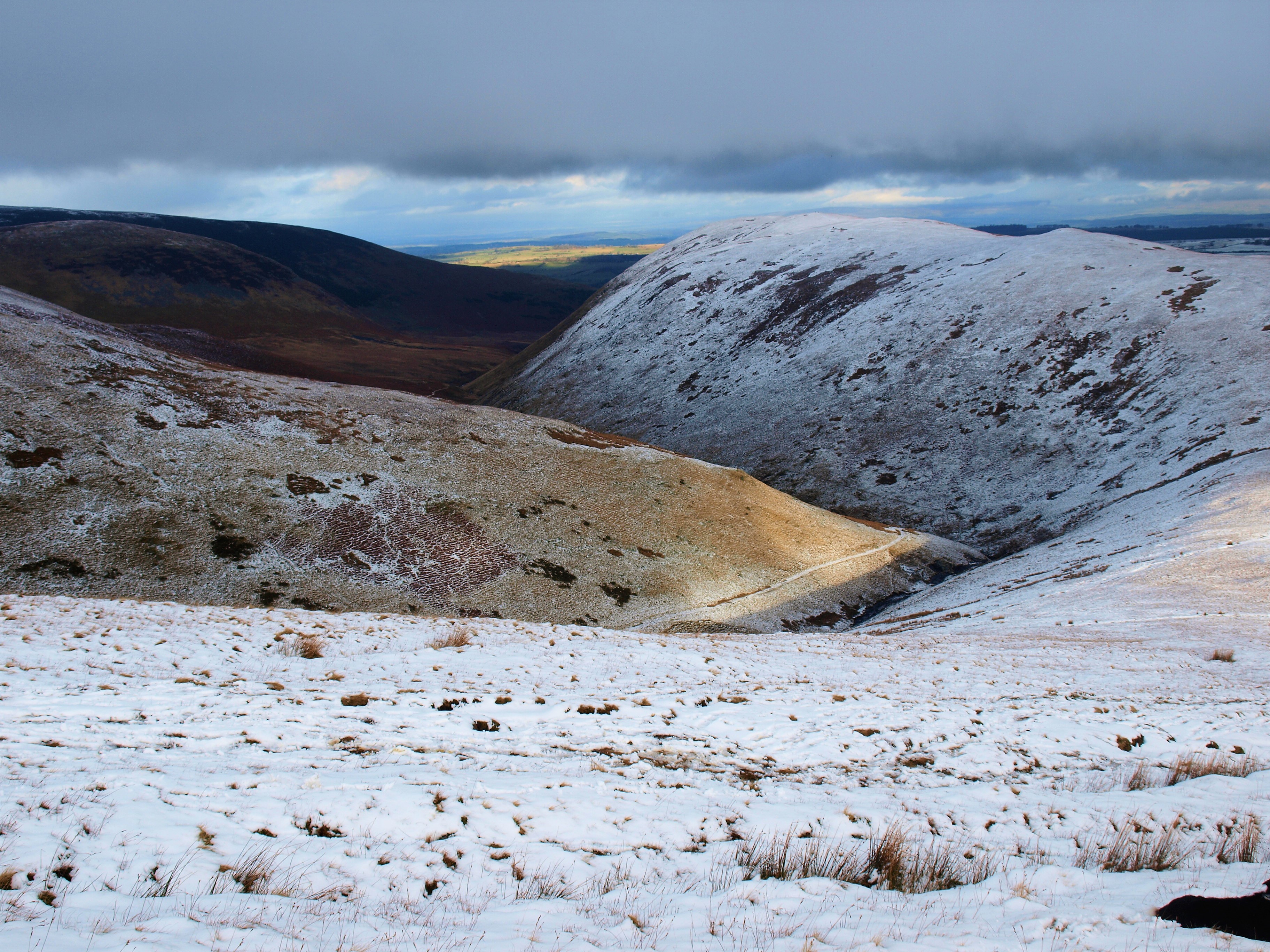
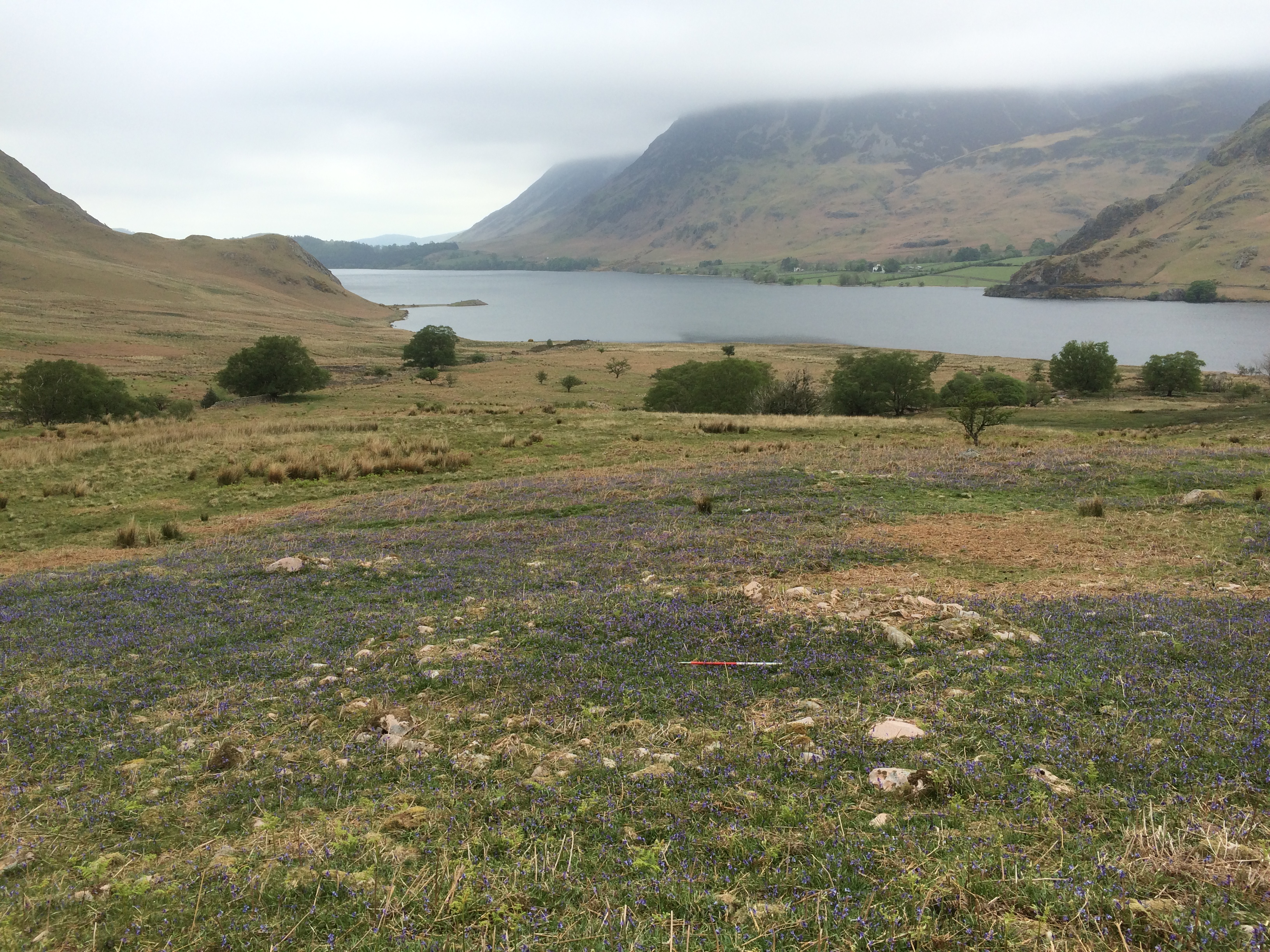
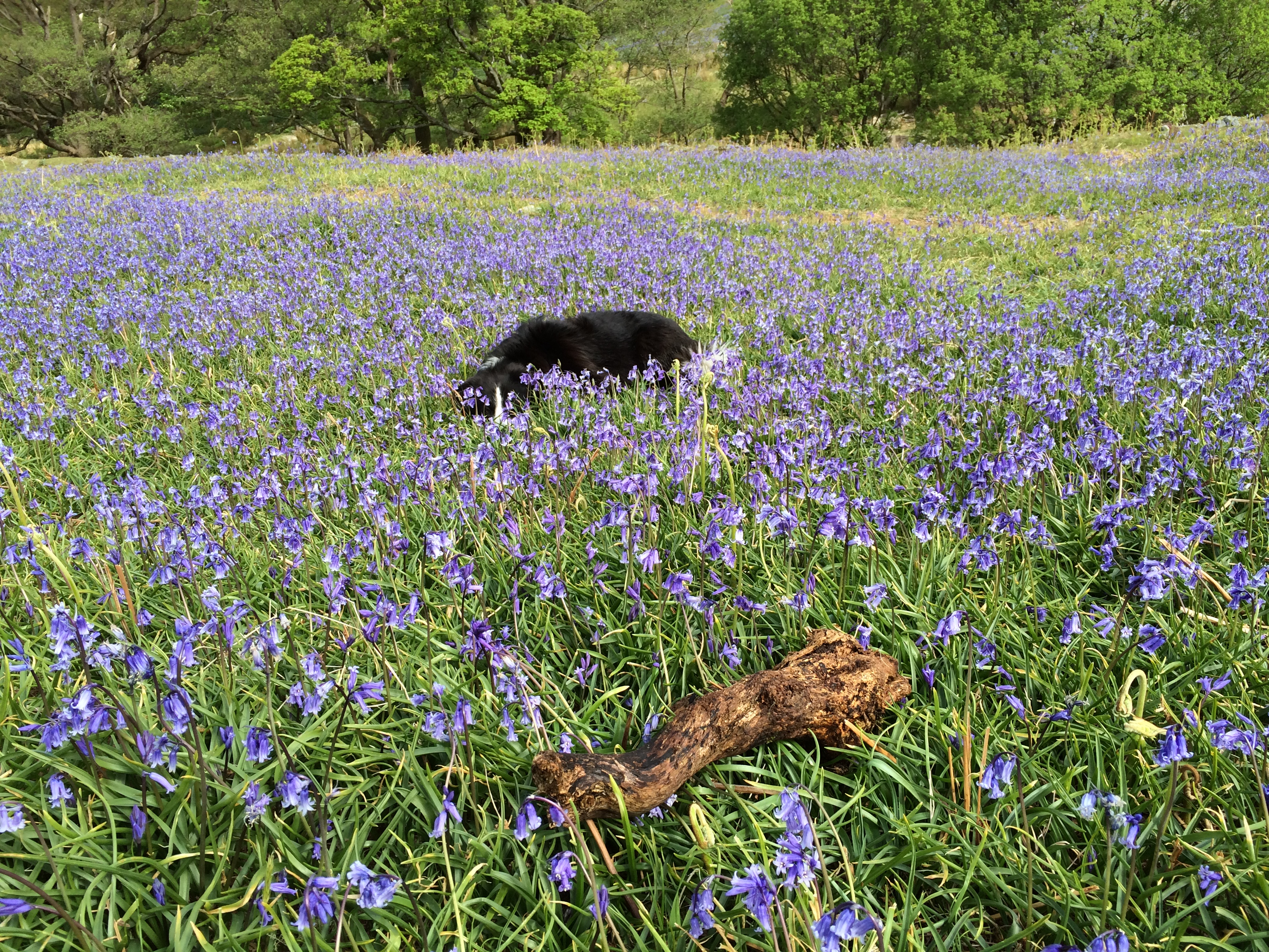
IMG_0458

Mystery in the mist;

Glinting in a clint,

Offered to the mountain?

Well traveled whiteness.

Void between volcanic rock,

IMG_0460

Exploded out of the earth the dust settles

In water forming

Patterns of the past

Layered

In

Deep

Time

Scafell pike 13.05 15 005

A light released from the land

The hand moves to draw

With chalk of childhood

Sediment writes itself

Scafell pike 13.05 15 011

Alien fragment on lofty Pike

Released from bony white matrix

In Grimes, Wolds, Wessex or Antrim

Remote lands – with still echoes

Of times long gone

Hidden in hollow hills.

Mind wanders to downs and dales

Memories held guide the hand

Moved to make a mark,

Scafell pike 13.05 15 014

Diamond lozenges, tightening skins

Scraped by flakes,

IMG_0453

The beating bodhran calls

Rhythm of the wind – resonating rock

Scafell pike 13.05 15 017

Through heavy brow

Owl eyes bring a sharper focus –

Clouds clear

IMG_0466

Elemental tumbled sculptures emerge

Mountains making their own art

IMG_0472

Look close – layered,  lichen

Reflecting  clasts cast in stone

IMG_0468

No scribe engraved these forms.

Red rememberings of hard nicked hands that

Scafell pike 13.05 15 032

Split sharp hornstone,

Ancient prospector for mysterious XI,

Its unknown source – found?

Scafell pike 13.05 15 026

Cris-crossed with rhombic faultlines

Weathered scallops patinated to grey

Scafell pike 13.05 15 029

Crack,

Hiatus,

Time shifts

Settles again

Present

IMG_0463

Falling back into the earth

Joining the ancestors

Scafell pike 13.05 15 020

Scattered all around,

Crag-high memories now burnt bone offering

Crumbling to constituent carbonates

Merging with the future

Acknowledgements, notes, etc

This chance meeting with a flake of chalk took place on top of Scafell Pike, a place full of modern monuments and offerings, to the dead mainly, many of whose ashes lie around the summit cairn, and older structures that could be interpreted as monuments; the Neolithic Axe working sites. There is a continuity here in this wild place, others have discussed the offerings left by people in the Neolithic period at prehistoric stone working sites including Peter Topping, but here we have a modern offering – for reasons unknown. More recently I was reminded of this by a paper given at BRAG by Andy Merion Jones and Marta Diaz-Guardamino which directly inspired this blog following my serendipitous encounter with the white rock. The title of their presentation was Making the Mark: Imagery and Process in Neolithic Britain and Ireland and included a discussion on the Folkton Drums, below.

London 01.03.13 007

The motifs of the owly heavy browed eyes and lozenge hatching are now being found more regularly as a symbol in the Neolithic period from the West Country to Orkney.  But I was particularly impressed by the detail revealed on the Folkton Drums,see here. Although probably not actually representing drums, these were found in a Neolithic round barrow by the good Canon Greenwell in the Yorkshire Wolds, which region demonstrably had a strong connection with the Cumbrian Mountains on account of the large numbers of Cumbrian Stone axes found there, and this got me thinking…

Pete

Polypody polypody

Springing from the dyke,

Polypody polypody

Nestling in the soft moss,

Polypody polypody

High up in the tree.

Hawthorn – old thorn,

Home to our fern,

Crab-apple , beech tree,

Oak, ash and elder;

Glimpsed through ivy –

On gatepost, gryke and dry-stone wall

Chinks in lime mortar and wizend bark –

Your laddered fronds wavering in the wind.

Polypody polypody

Weathering the storm,

Polypody polypody

Withering in drought,

Polypody polypody

Frozen hard in winter,

Polypody polypody

Brightest green in spring.


It’s raining acorns all around,

Tock-docking through the glade,

Sunburst glints, waving leaves,

Dancing with the wind.


Lull; lace winged silhouettes rise,

Flitting in slanting sunbeams,

Silver gossamer floats shimmering,

The fusty sweet scent of autumn.


Lying in a bed of russet and gold,

Beneath your spikey carapace

A soft whiteness enfolds you.

A crack; wakened by the light,


Opening a dark eye

To the cool, bright morning

Your brown marbled beauty

Brightens my October day.


IMG_5079

From Orthwaite Lane up, over Barkbeth Hill

Broad, green-mounded rigg and furrow,

Fell gate, Southerndale, bright sun, cold dry stillness,

Rock cut track, sled-iron-smooth ground grooves.

IMG_7204

Below the broken grey blocks, Watches,

Hard picrite intruder into Ordovician siltstone

Quarried lintel and quoin for house and farm,

Eyes up, sharp lit Kiln Pots and The Edge.

IMG_5076

Across sparkling cold Southerndale Beck,

The sled-gate road rises over the tawny sedge,

Hollow ways fall from the fellside

Eroded tracery of sled-runs.

IMG_5085

Remnant of the rock running slaters,

Loping down the rushing scree

Slate laden sleds behind them,

Run out, braking trail-barrows rest.

IMG_6720

Walking-in, cold wind, low light

Morning mist draped over the tops

Little Knott, Great Knott, Buzzard Crag,

Randal Crag terrace – to work.

IMG_6733

The “old men” in kytel coat

Dresser and river

Bait bag, chisel and mell,

The clogged trod upwards.

IMG_6731

Dig, delve, dock and split,

Open tops of slaty layered tumble,

Blaeberry, purple-grey fossil mud revetment,

Riving shed, collapsing cards sliding sideways.

IMG_6723

Wafer fine split slate from the clog

Dressed with whittle and anvil, sheltering

Basenthwaite, Bewaldeth Snittlegarth

Orthwaite, Ulldale and Ireby.

IMG_6744

Solitary watcher on observatory ridge,

Skiddaw Man, time out of mind,

Feint footings by the cairn,

John Adams telescope hut.

IMG_6749

Ullock Pike, Longside Edge, Carlside;

Blencathra, Knott, Great Calva;

Broad End, Bakestall, Binsey;

Little Man, Lonscale and Latrigg.

IMG_6756

High and airy, shallow trials,

Left abandoned, by Gibraltar Crag,

Echoes of Peninsular Wars, of Succession,

Greater rock possessed by force of arms.

IMG_5101

Down Barkbeth Gill, ghostly figures

Below Broad Stand, White Horse,

Across the mired track, into the mist,

Jet black fell pony and sled fade.

IMG_5103

Some Notes:

Like several ancient slate quarries, the workings on the edge of Randal Crag Terrace became evident when the sled runs were exposed in low oblique light. I have as yet found no reference to these quarries in the literature, for those interested the books of Ian Tyler, Alasdair Cameron and John Adams amongst others provide a more in-depth research into the subject of Lake District quarrying and mining. There are other slate quarries on the Skiddaw slate series but none at such altitude, the main workings are at between 650-700 m although the trials adjacent to Gibraltar Crag are at about 850 m AOD making them the highest slate workings in the Lake District, perhaps why they were not developed further. Despite this there are extensive areas that have been worked as hollows or “open top” delphs on the terrace and more developed quarries on the steep scarp slope of Randal Crag.

Some notes on terminology: Old Men was a miners term used for the early miners. A river was a chisel used to split the slate along with a mell which was a hardwood mallet, sometimes iron bound. Thus, the river or splitter splits the slate and the dresser shapes it with a dresser was someone who finished the slates with a whittle and slate anvil. On workings of this scale the job of the river and dresser were probably merged. A clog was a very large lump of slate. A tully was similar to a wood splitting axe with a blade on one side and sledgehammer head on the other, for breaking the clog into manageable lumps. The trail barrow was a sled used to transport the finished slate down the sled run to the loading dock where they would have been transferred to a horse drawn sled or cart. Horse drawn iron runnered sleds were often used in the fell country as they were more stable than carts on the rough and steep terrain. A kytel coat was a heavy cotton working jacket.

IMG_0059

Finished slates being sledded down Bull Gill, Honister in a trail-barrow

Whilst these workings were likely to be worked on an intermittent basis and given the exposure not worked all year, this would have been a hard life, with little shelter whilst quarrying and only an open fronted riving shed for shelter when sat on the ground splitting or dressing the slate. In this instance all the production would have taken place on the fellside so no unnecessary weight needed to be taken down the sled run, of course the sled then had to be dragged back up the scree. There is no bothy apparent at the site so it must be concluded that they walked up to work here every time they quarried some slate.

The period of activity of these quarries is uncertain however there are certain indicators that suggest these are quite early workings. The workings are relatively small scale, so likely to be pre-industrialisation, also the track that used to go down Barkbethdale had an enclosure wall built across it by the 1862 (1st Ed OS) so would not function as a track. It is quite probable Gibraltar Crag was named by the slaters working the trials there and may relate to major current events, either the ceding of Gibraltar to Britain in 1713 (Treaty of Utrecht) or the Peninsular wars of the early 19th century. The earlier date would fit with the increased demand for slate as a consequence of the “great rebuilding” of the late 17th early 18th century thus prior to the increased production of the like of the Honister Mines or Elterwater quarries and the use of blasting.

In 1689, a geographer Mr John Adams built a hut on Skiddaw “of a sufficient size to contain his telescopes and optic glasses, whereby he was enabled to give a better description of the two counties; but being arrested by his engraver, and death soon following, his labours were lost.” The description of the site of the hut, “towards the northern extremity of this stupendous mountain where chasms of enormous depths in the bowels of the mountains, forming steeps of slaty silver, yawn upwards with frightful grin, and threaten to swallow inferior hills” tallies with the most northerly summit on the Skiddaw ridge, where, with a keen eye the vestiges of the footings of a wall about 4m long might be discerned adjacent to the modern cairn.

IMG_6736

Ripples Under the Rails

Beneath the crusty cast pillars

Frozen ridges in russetty rock, relic of

Forgotten tides ebbing from the foreshore,

Compressed moment in time, stasis.

From under the earth, drilled blown and split,

Cut and dressed, mallet and cold chisel, lifted

Block and tackle to wagon and rail,

Lifted and lowered, jointed, bedded and faced.

Beached above high water, breached by winter gales

Facing the shifting strands of the surging sea,

Mudstone moulded from silty sand

Reformed in angular conformity.

Stanchions standing still

Memories of a weighty feat

Steam drove piles deep down

Spanning the divide.

Girder beams and rails run over the estuary

Building problems, sinking on the heathery bog

A mile of iron-y to carry its ore

Shiny ruddy haematite across northwards.

Elemental forces test its metal,

Water freezes, split columns,

Ice floes collide and crash,

Broken bridge.

Mended, revived by World War

Carrying the seeds of death south,

Years of labour’s lost,

Helplessly hoping for peace.

Wee Free bridge, Bowness beer on Sundays,

John Barleycorn calls across the waters,

Wobbling back over sleepers to Alba

Sabbath man is full of ale.

Linking former foes, the Solway Viaduct,

Before Bouche’s ill-fated Tay Bridge

Lesser losses tumbled to the brackish water,

When Brunlee’s bridge was broken up

No McGonagall opus to immortalise the decaying

Remains across the brackish Solway

Embanked piers still reach out

From both sides of the Eden.

Notes

The Solway Viaduct was opened in 1869 as part of the Solway Junction Railway crossing the Solway Estuary between Bowness-on-Solway and Annan and linked to the Maryport to Carlisle and the Caledonian Lines. Its original purpose was to transport iron ore from Cumberland to the Ayrshire and Lanarkshire Ironworks. The viaduct was the longest in Europe at the time a total length of just over 1 mile, the piles and columns were constructed of 2,892 tons of cast iron using a steam pile driver, the superstructure was of girder construction using a further 1,807 tons. There were 193 spans of 30 feet each. Surprisingly perhaps it was the crossing of the raised bog at Bowness that provided the bigger challenge in construction of the line. In the building of the bridge Port Carlisle, already struggling, was effectively shut off from any larger shipping and Silloth became the port for Carlisle.

Thursby born Thomas Bouche, engineer of the first Tay Bridge, was not given the contract for the railway or viaduct, despite having constructed several Cumbrian and Westmorland railway lines and viaducts. However, this was perhaps fortunate given the disastrous bridge failure that led to the Tay Bridge Disaster, constructed ten years after the Solway Viaduct. Despite this the Solway Viaduct was not without its troubles. In the severe winter of 1875 water froze in the columns splitting several of them, these were repaired but in the next severe winter of 1881 ice floes came down the Eden and Esk piling up and refreezing into icebergs up to 6 feet thick some 27 yards square odd feet across, these battered the stanchions and around 300 were broken leaving a damaged length of 3-400 yards, these were again repaired despite this obvious shortcoming.

Economically the line made a good start but business tailed off as this was a second line to the Caledonian line. In 1914 it closed to passenger traffic and had a brief spell of profitability during the First World War due to its proximity to the armament’s factories at Eastriggs. It was finally closed in 1931, although still used by people to cross over to drink beer at Bowness on Sunday. It was finally demolished in 1934, three men died during demolition when a boat capsized; surprisingly Though no deaths were recorded in its construction. The Iron was sold to Japan who, it is said, used it to strengthen their arsenal of military hardware prior to the Second World War.

Photographs of the extant viaduct can be seen here: http://http://www.cumbria-railways.co.uk/solway_viaduct.html

Credit: Old photograph of Solway Viaduct, D.S. Barrie (Aston & Barrie, 1932; p. 27).

Beneath the ochrous clay banks the Derwent River flows

over salmon spawning glacial gravels,

meandering from mountain to sea

draining distant Skiddaw’s icy

cloud capped slatey slopes.

OLYMPUS DIGITAL CAMERA

A horned oxbow curls round the plain’s rim,

distant memories rise, first settlers;

moonlit shadows, fires glimmering on mercury silvered surface,

deer hide drumming, chanting, dancing;

a gathering.

OLYMPUS DIGITAL CAMERA

Ceremony in gravel banked henge;

propitious offering at waters meet,

fresh fired carinated crock of grain

cast into water,

hissing;

floats,

steams,

shatters and

settles,

returned to its riverine source,

a fragmentary moment;

precious seeds strewn,

scattered constellations on mirrored firmament.

Fire water

Ages pass;

river terrace, thatched earth roundhouse,

woollen clad Brigantian stands sentinel,

rough black dog guards the flock,

gatekeeper gazes north from a gap in the pale,

across the confluence of waters and cultures.

OLYMPUS DIGITAL CAMERA

New bridge, fecund offerings auger well,

pacify those passing south on the paved way,

borderlands, changes.

Derventio; enclosed with dressed stone walls,

rectangular Roman homes, luxuriant laconicum,

mosaic floors and painted walls.

Fine wines, exotic food, tales of distant lands,

people of many races – mills, streets and trade.

OLYMPUS DIGITAL CAMERA

New era;

now the land moves.

old oaks cloak the homestead,

man-made mountain is raised, gateway breached,

OLYMPUS DIGITAL CAMERA


No Silbury Hill this, but

The Laureates,

leafy crown

of irony.

OLYMPUS DIGITAL CAMERA

Upheaval, promontory becomes peninsular

jutting out into sea of churned earth;

battlefield of bulldozed boulders, broken trees and mud,

surrounded by palisades of doused timber,

enclosed with walls of stone and baked clay,

tracks of black bitumen – new trails cross the domain,

no holloways here.

Over run and overlooked.

OLYMPUS DIGITAL CAMERA

River terrace mauled, dug, dragged and dumped

transformed into terraced homes.

scaffolding poles rise;

spears daring to defy the territory.

In the woods hinds scatter,

echoes of woodland industry linger;

domestic reminders.

OLYMPUS DIGITAL CAMERA

The lost shepherd gazes down the road,

bewildered, placatory bronze offering,

the flock is gone,

OLYMPUS DIGITAL CAMERA

collies teeth clack at passing cars,

monument or folly,

the land has paid the price.

OLYMPUS DIGITAL CAMERA

Where Roman soldiers stamped across planks

girder and concrete now flyover.

OLYMPUS DIGITAL CAMERA

water constrained in plastic pipe,

burrows bluely to Moorside.

OLYMPUS DIGITAL CAMERA

Gravelly groves in storm washed field,

Reminders of inundations,

fells deforested, changing climate,

rich store for cairn builders’

long gone,

sacrifices must be made.

OLYMPUS DIGITAL CAMERA

Unseen in dark woods,

Wrapped in brick and burnt limestone,

Marooned by road and railing,

Forgotten behind the barrow,

No huggers here to embrace this hilltop homestead.

OLYMPUS DIGITAL CAMERA

Notes and acknowledgements:

Although not on such a grand scale as its better known relation, Old Oswestry Hillfort and the worthy campaign to protect it from the encroachment of housing estates, nevertheless Fitz Park settlement demonstrates what can become of our heritage when profit is put before heritage.

Whilst there is an inevitable degree of speculation in the narrative created above it is based on archaeological and historical analysis which I provide some links for below.

During archaeological evaluations prior to construction of The Laureates housing development dozens of pieces of a single Early Neolithic carinated bowl were found, dated to c.3700 BC from a grain of emmer wheat in what was interpreted as a votive offering in a former oxbow lake on the flood plain further details can be found here

Fitz Park carinated bowl

Carinated Bowl found at Fitz Park development. Archaeological Research Services Ltd, 2015

Fitz Park Settlement is a Late Prehistoric/Romano British enclosed settlement of modest proportions, which is described here. Excavations around the site failed to identify any other archaeological remains and can be seen here. The consequence of this development is that this Scheduled Ancient Monument is now surrounded on three sides by a housing development which, it appears, will come to within two metres of its earthworks, the surrounding fence was broken down.

The Roman road south to the port at Ravenglass must have passed close by the Fitz Park settlement which overlooks the likely former confluence of the rivers Cocker and Derwent, the latter was said to be recut in the 13th century to provide greater defence for Cockermouth Castle, now somewhat ironically being undermined by it and being to some extent responsible for the inundations of the modern town. It seems the Roman town was situated at the old confluence.

OLYMPUS DIGITAL CAMERA

As a consequence of the 2009 floods extensive Roman remains were discovered on the floodplain below the Roman fort of  Derventio at Papcastle opposite including a water mill. This led to the Discovering Derventio  Heritage Lottery Funded Project which can be found here. Amongst the discoveries made during subsequent surveys and excavations bathhouses and bridge buttresses along with fertility offering were found, these were mainly in the riverside fields known as Broomlands.

An intriguing unexplained feature was also identified in the geophysical survey here, an enigmatic sub-circular gravel and clay bank, clearly hengiform yet apparently Roman in origin and can be seen here. Whilst current interpretations suggest this is not a Neolithic henge, it is interesting none-the-less and given the siting of other henges at river confluences regionally at Mayburgh and the suggested connections with Irish henges (Bradley & Watson, 2009), it would seem quite possible there was such like here, perhaps the feature described  by Askew in his 1872 guide to Cockermouth “…in the second field on the Broughton road, on the left, there are still some remains of an amphitheatre” sadly now apparently under the bypass.

The concept of offerings in watery places to appease is undoubtedly and old one and continues to the present day and much has been written on the subject. The big blue pipeline said to be laid to protect the freshwater mussels in the River Ehen, at a cost of £300 million at last count, is actually considered locally as the unspoken secure water supply to the new Nuclear power station to be built  at Moorside.

At the other side of Cockermouth an archaeological evaluation of yet another large housing development in the town identified further evidence of prehistoric activity to the east of the River Cocker in the form of a burnt mound. Clearly there was more going on here in prehistoric times than previously thought.

Following Storm Desmond, thousands of tons of gravel were deposited again in the fields downstream from the excavated archaeology. Currently the National Park and National Trust are attempting to redress the balance of deforestation somewhat, brought about by grazing farm animals on the fells over the centuries. However, given one of the consequences of Lake District’s new-found status as a World Heritage Site is the preservation of the landscapes current appearance, changes in respect of reforestation are likely to be ineffective in preventing the increased frequency of major flood events locally.

Bradley, R. & A. Watson. 2009. On the edge of England: Cumbria as a Neolithic region. In K. Brophy & G. Barclay (eds.) Defining a regional Neolithic: the evidence from Britain and Ireland. 62-77. Oxford: Oxbow.

Williams, S. & Holgate, R. 2015. An Early Neolithic pottery vessel from Fitz Park, Cockermouth, Cumbria. Transactions Cumberland and Westmorland Antiquarian and Archaeological Society, CW3, 15, 211-254.

They come from the sea

Crossing from Middle Isle

Night and day in bentwood hide canoes

Arms weary from cleft oak paddles.

OLYMPUS DIGITAL CAMERA

Through the surf landing,

Dragging up to the dunes

An axe tumbles out unseen

Swallowed by the sand.


OLYMPUS DIGITAL CAMERA

Resting on the crest between sharp grass

The cleft mountain visible in the distance,

Nearer than seen from the sea

Still two days journey away.

OLYMPUS DIGITAL CAMERA

Wading through silted salt-marsh to drier ground

Through the first windblown willows

To the gathering cleared roundel of oaks

Yet to be marked with a circle of rocks.

OLYMPUS DIGITAL CAMERA

Grateful offerings are made

Precious things laid, amongst the trunks

Boughs hold their hangings of old

Sun dried, wind weathered.
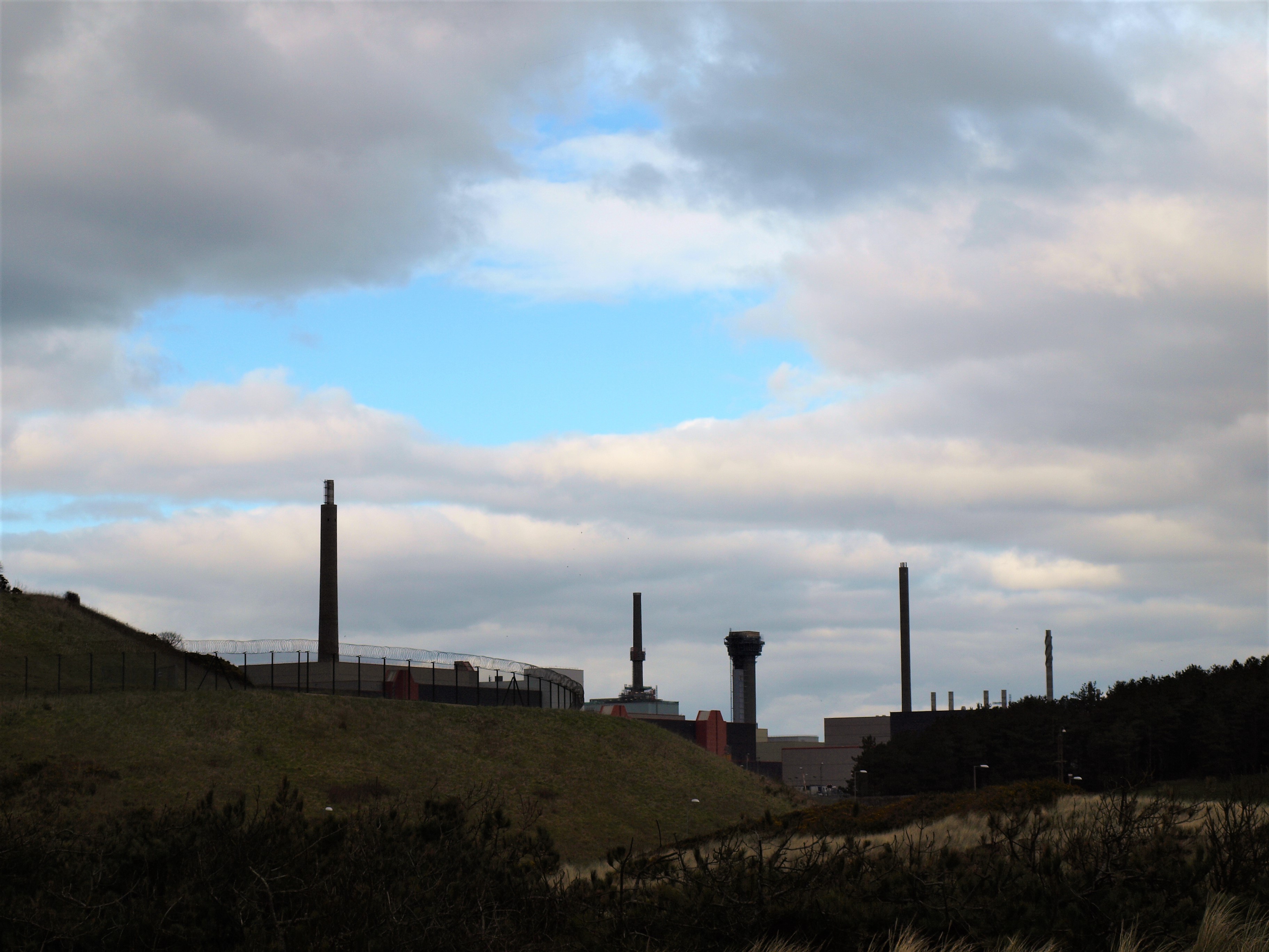
OLYMPUS DIGITAL CAMERA

Following slow flowing fresh water

Where taboo still lingers

Now overlooked by the dark towers

New henge bank concealing modern secrets.

OLYMPUS DIGITAL CAMERA

Meeting at River Camp, dark-eyed tribe

From the Farland, pause from grinding

To greet Mid-islanders, polishing stones dry

In a warm evening breeze.

OLYMPUS DIGITAL CAMERA

Sharing meat and fish, renew old acquaintances

Telling tales of tracks and travel

To heather bed in turfed bender

The light long gone.

London 11. 12 133

Morning dawns damp

Slowness to move,

Stretch tired limbs,

As dogs, stir and yawn.

Wasdale 070

Crossing the river to higher land

Well-trodden trail on valley side

Deer scatter from clearings as one falls to

Beach knapped arrow tip.

IMG_4256

Blood is drained and drunk

Warm liver eaten

Dogs feast on entrails

Trussed and humped on a back.

Wasdale 051

Spirit is appeased, the sun has passes its peak,

Shadows lengthen reaching banded mountain

Camp busy with journeymen, strangers exchange food,

Space is made as fires glow.

Wasdale 049


Fresh morning, a hasty start

Hills reflect across the deep water

Steady walk along flatlands, preparations

Before climb to flinted cliffs.

IMG_4259

Skins and hazel poles, strapped to backs

Fresh and dried meat stowed in leather sacks

Auroch hide soles, tied on tight

The sun is ascending high as the climb starts


OLYMPUS DIGITAL CAMERA

Following the stream to its source,

Through oak woods that thin where the great cliff rises

At Signal Rock, lifted from the mountains top

First block is broken and rings round crags.

Scafell Pike Axe factories 105

Evening sun comes too soon

Freshening breeze, time to shelter

In lee of the summit

To the green grass terrace

OLYMPUS DIGITAL CAMERA

Low bender built with hide and hazel

Anchored with rock blocks

Oiled furs retrieved from boulder cache

Two by two to warm bodies.

Scafell Pike Axe factories 089Night in the spirit realms misty breath,

Cloaks the crag like a sleeping sheep

Morning mist dissolves leaving pock-marked rocks

Ghostly fingertips impressed in stone.

OLYMPUS DIGITAL CAMERA

A frost heaved ring

Round a boulder

From ancient time

Another sign?

OLYMPUS DIGITAL CAMERA


Light again and to the pits, dragging out

Frost shattered rock, banked around

Finding the stone that rings true

Whack and crack with river rounded hammerstone.

Scafell Pike Axe factories 120

Nip and knap, shape and thin

Wrapped in leather sack

Sharp splinters tease the skin

Until too sore to bear.

Wasdale 028

Another night, setting sun lowers

Over Middle Isle’s three peaks

Beckoning souls on high mountain

Calling home across the silver sea.

OLYMPUS DIGITAL CAMERA


Notes and Acknowledgements:

The reason for the journey in this case was to quarry the volcanic tuff from Scafell Pike to make stone axes, a rock known as Group VI that has very similar working characteristics to flint, subsequently polished to bring out the blue grey/green beauty of the stone. Exploring some of the aspects of journeys made by earlier Neolithic travellers inevitably throws up many questions, by their nature these expeditions would have been layered and multifaceted the focus shifting as the light crosses the changing landscapes and the world was explored by a still at least partly itinerant population on the cusp of a sea change in their lifestyles.

Whilst the route described is just one possibility, it could equally have followed a ridge or been paddled along Wastwater, from a pragmatic perspective it seems likely that, to a degree at least, people would have followed the line of least resistance and as today would have been dependant on the vagaries of the weather in the Cumbrian Mountain. However there is also the belief systems at the time which may have dictated that a specific route needed to be followed, what I think is clear from anthropological comparisons is that knowledge of landmarks would have been vital in navigating around the landscape, especially in a mountain environment, these would have been primarily natural features but augmented as time passed with constructed features. Others such as Cummings & Johnston and Callaghan and Scarre have written at greater length on the differing aspects of prehistoric journeys and are there for the reading.

For those less familiar with the archaeology of the Cumbrian landscape I will tease out some of the references in the text to places and some of the archaeological evidence that the narrative is based on, the relics of ancient industry and monuments. Whilst there is inevitably a degree of speculation in the interpretation of the archaeology in relation to place I have tried to keep it within the bounds of possibility!

Middle Isle is the Isle of Man, a place with a melting pot of Neolithic monuments and also a quantity of Group VI axes which were clearly imported whether by trading or direct procurement as I suggest here. It is also an interesting Island in that it commands a view of Dumfries and Galloway, Cumbria, Snowdonia and the Mourne Mountains, I suggest that it was a kind of hub for Neolithic seafarers and as recent research on Orkney demonstrated quite possible to undertake such sea crossings. Perhaps an easier route than the North Channel and its strong tides. The axe tumbles a Ronaldsway axe from the Isle of Man was found near Seascale.

From the Isle of Man the col of Mickledore, between Scafell Pike and Scafell Crag gives the massif the appearance of a Cleft Mountain and therefore a prominent landmark to aim for from a canoe on the sea. Whilst the Cumbrian coast has receded since the start of the Neolithic period, about 6000 years ago, the rivers and streams were likely to have been in a similar position, inland at any rate. The circle of rocks is Grey Croft stone circle, Seascale a reconstructed stone circle, which commands a view to the Mountains and to the Isle of Man, where a broken Group VI axe was found. Although most stone circles are likely to have been constructed after the axe quarries had largely dropped out of use it is likely that the significance of the mountains endured if not in memory in myth and thus perhaps there was an element of taboo around these circles. It has been demonstrated through excavation that several stone circles were preceded by timber circles such as Oddendale and these were likely to have been important gathering places prior to that time, perhaps starting off as a clearing in the wood.

River Camp is a site near Gosforth where a number of stone axes were found along with grinding and polishing stones during construction of the sewage works. Beach knapped is the local flint pebbles, up to fist sized, found on the West Cumbrian coast and used to make arrowheads and other tools. Banded Mountain is Buckbarrow a distinct band of rock crosses the crag and below is Tosh Tarn perhaps another Neolithic campsite like that at Ehenside Tarn. Farland: Ireland where many Group VI axes have been found despite more local sources of stone such as Tievebulliough, County Antrim.

The climb up to Scafell Pike could have headed up towards Pikes Crag and the prominent Pulpit Rock (Signal Rock) via Brown Tounge, and the aptly named Hollow Stones, perhaps where the tuff was first prospected in the scree below the crag after being found in Lingmell Beck. There would have been considerable preparation necessary for a quarrying trip up the mountain, not least the need for shelter given the lack of caves or boulder shelters up there. Anchored with rock blocks: it is possible the two or three rectangular stone features, c 2x 3m, on the only patch of grass in this alpine environment at c 945m AOD to the east of the summit, are ancient bivouac sites where a hazel bender was erected and covered with deerskins.

OLYMPUS DIGITAL CAMERA


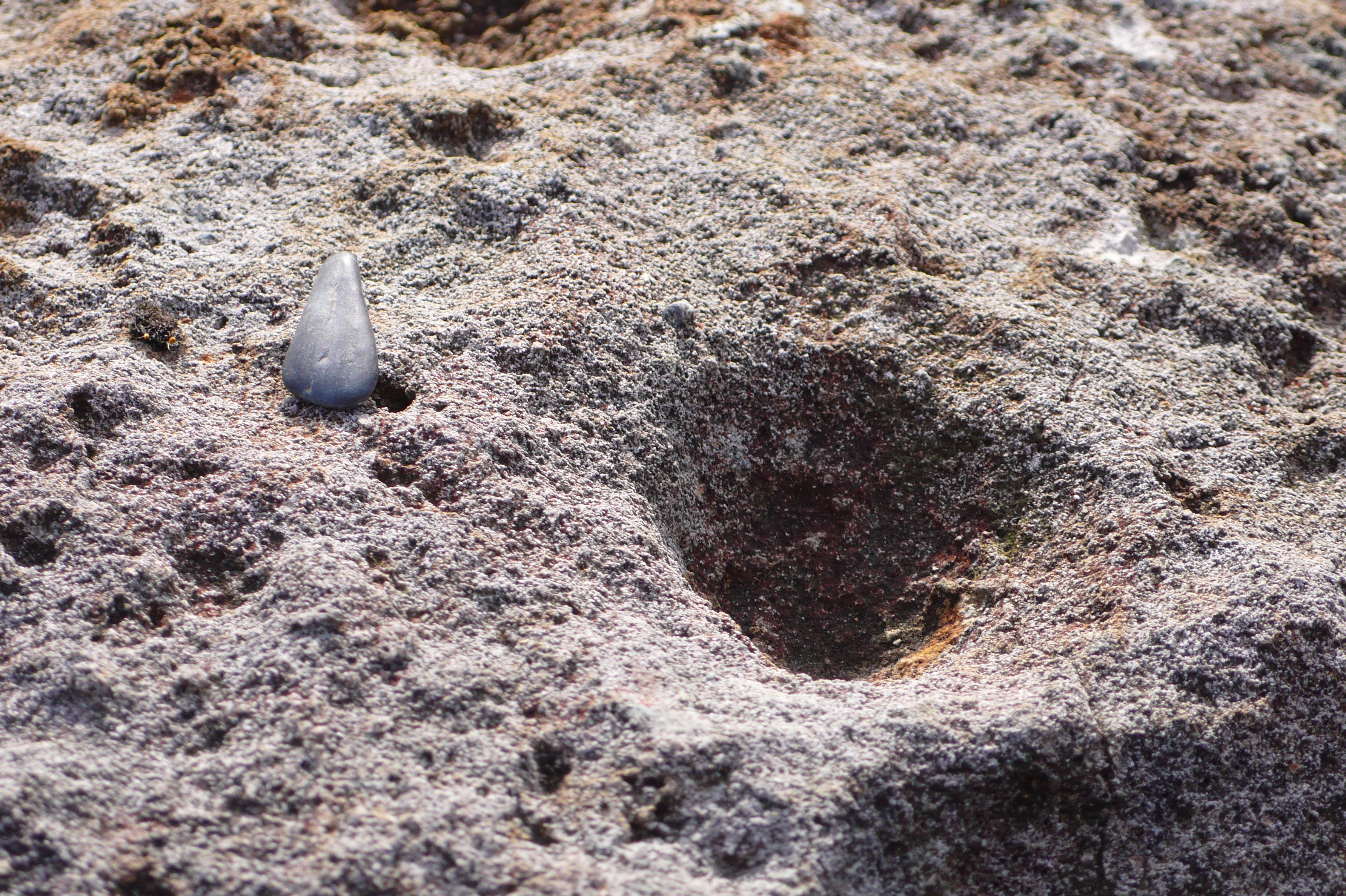
It is clearly a matter of speculation but interesting to ponder whether the cupules formed on the pock-marked rocks had any influence on the creation of prehistoric cup-marks made on domed rocks in the central valleys of the Lake District, man imitating nature, an example of skeuomorphism? Likewise, was there an element of replication in the construction  of boulder cairns in imitation of the frost heaved circles found near the grassy terrace. It would be surprising if a mythology had not developed around working in such a dramatic and potentially dangerous place, as suggested by the siting of the quarries in Great Langdale many of which have a mainmast ambience, which would have been a good source of tales of daring in the face of danger and precipitous voids.
Scafell Pike Axe factories 111

The stone extraction pits are among a number of Neolithic features on the summit plateau of Scafell Pike, alongside numerous modern shelters, and are reminiscent of ring cairns yet were apparently created to lift blocks of tuff that had not been exposed to the effects of frost weathering. They occur in discrete areas which may perhaps suggest some sort of delineation of different “tribes” working up there. They clearly were used for flaking the stone down to rough-out stage as they contain numerous flakes in their base, but their exact use is debatable and there could be an element of deliberate structured deposition going on about these sites. Their locations were planned in detail by Claris and Quartermaine in the 1980’s although they had by then been disturbed to a greater or lesser extent by various people, known and unknown, they await an investigation with modern excavation techniques should anyone fancy some extreme archaeology. River round hammerstone: at stone axe working sites numerous river rolled hammerstones have been found that must have been picked from valley river beds and carried up the mountain.  

Langdale axes, Kendal mus 015

Callaghan, R, & Scarre, C. 2009.  Simulating the Western Seaways. Oxford Journal of Archaeology 28, 4:357-72.

Claris, P. & Quartermaine, J. 1989. The Neolithic quarries and axe factory sites of Great  Langdale and Scafell Pike: a new field survey. Proceedings of the Prehistoric Society 55, 1-25.

V. Cummings & R. Johnston (eds.). 2007. Prehistoric Journeys, 54-63. Oxford: Oxbow.

Garrow, D & Sturt, F. 2011. Greywaters bright with Neolithic argonauts? Maritime connections and the Mesolithic-Neolithic transition within the “western seaways” of Britain, c. 5000-3500 BC. Antiquity 85, 59-72.

Taylor, S. 2016. Journeys to Neolithic Langdale: how a Cumbrian landscape may help explain prehistoric movement of polished stone axes. Lithics: the Journal of the Lithic Studies Society 37: 15–32.

Waterhouse, J. 1985. The Stone Circles of Cumbria. Chichester: Phillimore & Co.


An evening stroll up the spongy moss-damp valley, snail-like, my home on my back.

Loweswater 16.10.14 005

Across the beck loosing the fence-stuck  young Herdwick, up miners zig zags to long-deserted delph – unforthcoming trial.

Loweswater 16.10.14 004

Past diverting ditch drawing the water away from the workings, on up, a breached dam and cut hushed the soils off the slopes below, in hope of exposing the ruddy ore they found over the hill, the next valley, alas not here.

Crummock slabs, Ling Crag; Dodd Cairn; Gale Fell; Gable moonrise 028

Past ancient enclosures, ghosts of Elizabethan, perhaps Tudor, shepherds, whistle dogs and gather the flocks to guard against the hungry night.

Crummock slabs, Ling Crag; Dodd Cairn; Gale Fell; Gable moonrise 046

Here a shepherd slept? Wrapped in sheepskins and bedded on heather in the lee of the hill.

Crummock slabs, Ling Crag; Dodd Cairn; Gale Fell; Gable moonrise 039

Curiously constructed perched cairns float above the ground, small rocks,

Crummock slabs, Ling Crag; Dodd Cairn; Gale Fell; Gable moonrise 037

round arrangements, mysterious monuments grown from the clatter of stone scattered amongst the stone bields and heather.


Mosedale and Clew Gill 010

An orange sky on the northern horizon frames the barrow-like bulk of the summit,

IMG_4488

night beckons but light lingers on, as the moon looms up lazily over peak and precipice.

IMG_4487

Press on to find shelter, wind rising, cresting the rounded ridge, nestle down in low ancient enclosure.

IMG_4493

Night finally falls, transforming rocks into moonlit ridges. Memory stirs and mind wanders to the hands of forgotten waller hefting the pink granite rocks of this roundel on high moor.

IMG_4497

A gathering, winds whisk clouds up, wraith-like tendrils whisper, grasp at the moor but fade into moon-grey darkness. An intrusion in the night, heartbeat drumbeat echoes in the ear, drifts up from the valley below then dwindles to the distance.

IMG_4505

Morning, a change has come, the sky has fallen – in the clouds.

IMG_4508

In the gloom still watched over by the ghostly guardians,

IMG_4507

who are watched.

Notes: A walk up the aptly named Mosedale, Gale Fell and Starling Dodd. Old mine workings and trials are numerous in the fells, here the prospectors in the 1860’s – likely a Mr Faithful Cookson and John Hosking -were trying to locate a continuation of the rich iron ore bearing seams and lodes found on the Ennerdale side of these fells at Kelton Fell and Knockmurton worked from about 1853. However none of these trails developed into true mines and were abandoned by 1873. What is unusual hereabouts is to find traces of hushing, where the water is dammed and diverted to erode the topsoil to expose the rock and, hopefully, the rich seams, the gullies formed by this method are visible in the second photograph. The numerous small stone structures on the moor here have not been formally recorded to date and most likely relate to post medieval upland grazing activities although one or two have similarities to the smaller Bronze Age ring cairns found elsewhere in the Cumbrian Fells and beyond. 

OLYMPUS DIGITAL CAMERA

To Blackhazel Beck where no hazel now grows,

Lichenous finger of exotic wood,

Sign from moist  warm woodland

-A distant land-

To lost rainforests of home.

OLYMPUS DIGITAL CAMERA

In parkland well barred

White dots scour the hill,

Stripping saplings bare of bark

And leaves as they unfurl,

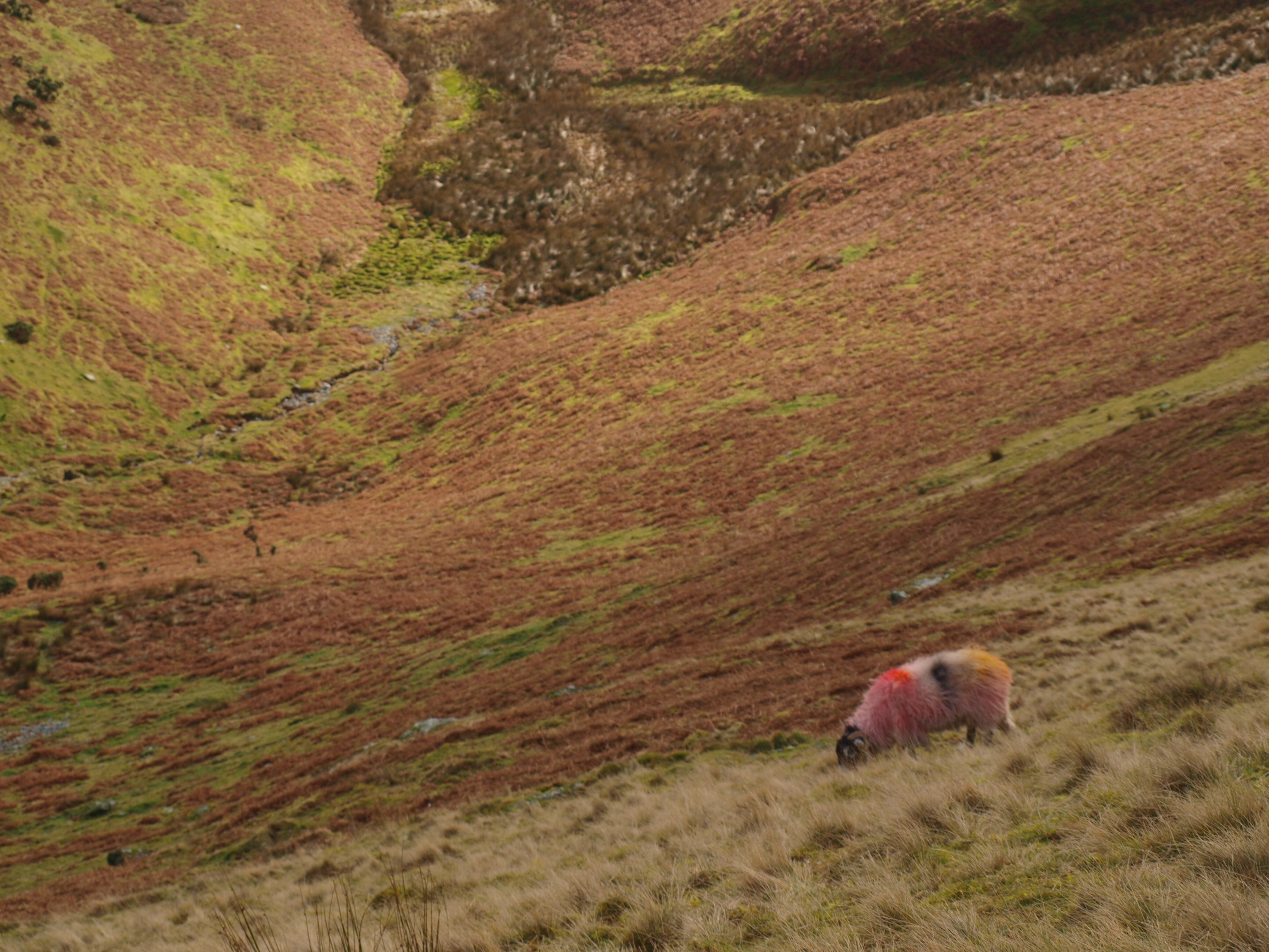
Psychedelic tupped ewe blending with bracken.

OLYMPUS DIGITAL CAMERA

There is a change in the weather, we know so well,

Waves of clouds, swirl,

Break over the fell

Crashing with silent surf

Over winters green fields.

OLYMPUS DIGITAL CAMERA

Footprints in the mist-dampening snow,

Ephemeral, wind warms to water

Drifting high into mist

Seeking adventure, testing times

Up high again.

OLYMPUS DIGITAL CAMERA

Time out of mind, cloven hooves of red deer

Wander to summer high pastures

Above the treeline, away from wolves

Stalking through the woods

Hoping for strays.

OLYMPUS DIGITAL CAMERA

Where once the aurochs browsed

The meandering marshy  morass below,

Wallowing in beavered lodges – calm waters

Boar and Bear, snuffle through leaf litter,

Snoring in craggy cave and hollow tree.


Lynx stalks through thicket,

Pelt a fine prize crowns a chieftain’s head,

Bears teeth around his neck,

Claws that once raked his arm

Fasten his cloak.

OLYMPUS DIGITAL CAMERA


Swarming salmon seethe up the Great River

Spawn in glacial gravel flowing from mountainside

The river turns from sunrise to sunset

Spiralling, tumbling and rounding

Returning  to the Whales water.


OLYMPUS DIGITAL CAMERA

Now people summit

In mist and snow,

Clad in black gold,

From deep depths drawn,

Form coloured nylon and plastic.


OLYMPUS DIGITAL CAMERA

Playing at wildness

In park, on path

Released from the pen,

Free to roam but constrained on the fell

Close the gate when you leave, please.

OLYMPUS DIGITAL CAMERA

Twin paps of Mell, Great and Little

Both crowned with barrows of ancient chiefs

Oak and elm their final bed,

Pyre fired urn, holding charred bones,

Watch from a distance over park-life games.

OLYMPUS DIGITAL CAMERA

Notes

The primary influence on these musings whilst climbing Blencathra is George Monbiot’s recent book Feral, a treatise on the re-wilding of the environment.  Unsurprisingly he received a hostile reception from some Lake District farmers despite acknowledging there are many problems, cultural and social, inherent in the process and that the dispossession  of farmers is not the way forward. Whilst the Lake District National Park and National Trust have set to in planting up some areas with native trees, notably around less accessible ghylls and scree strewn slopes, there still remains a lot to be done. A notable success is Ennerdale, and Thirlmere is steadily loosing its green cloak of spruce.  Effectively these conservation bodies have preserved the picturesque qualities of a deforested landscape, where you can walk for hours and barely see any mammal other than sheep (and humans!), at the expense of the wildlife. Despite being quite fond of sheep myself they are desperately destructive, and have largely been responsible for the process of deforestation in the uplands  at least since the Bronze Age over  three thousand years ago.

George Monbiot argues that the present and former forests of the  western coasts of the British and Irish Isles are in fact temperate rain-forests. I would agree with this as I listen to the rain hammering on the roof. It can best be seen perhaps on the western coasts of Scotland where native oak and birch wood survive, festooned with massive growths of lichens and mosses. This makes the deforestation all the more destructive as the upland soils are rapidly depleted of nutrients, this has the knock on effect of increased run off, acidification, erosion and destruction of salmon spawning grounds. There were not always large areas of mire on the uplands!

The aurochs was a native form of cattle, massive bigger than modern domestic cattle something like a buffalo in size, it was hunted to extinction in Britain around the Bronze Age, although extant in Europe for longer and preserved in the Polish forests for the royal hunt until the last cow died in 1627. People have been influencing the landscape in the Cumbrian Mountains from the Neolithic Period and arguably earlier into the Mesolithic. Imagining the wealth of wildlife in that time, it seems that it would not be so hard to find your dinner. The burials mentioned on Great and Little Mell fells were from the middle Bronze Age around 12-1500 BC, brief notes can be found here and here. Their settlements may now be buried in the blanket bog on the west of these fells. There remains an Iron Age settlement still visible on the opposite side of the valley to Threlkeld, this may well have had roots in the Bronze Age.


IMG_2946

Round rings of stone on the fellside

Bedded with bluebells, the ancient home

On terrace banked with rock

Pink Ennerdale Granophyre, ground round by glacier,

Dragged down from Dodds heights

Weathered to fertile soil.

IMG_2944

Now people return to the fold, above Scales Beck

The new-found steading, measured with laser and staff

Drawn with Derwent pencil

Whose core was once wadd from over the pass.

Black and white watches sheep

Where once short cattle grazed.

IMG_2949

In the shadow of Scales Knott

The fertile delta lies with cup-marked slab

IMG_1615

Soon peat and bracken reclaim the cairn-fields,

Just now laid bare

Before the swelling fronds

Return to cloak the land

IMG_2910

Across the lake above Rannerdale’s green fields

Whiteless Pike’s pointed pyramid

Another ancient homestead’s blue banks

IMG_2939

A squint of the eye, the lights right and they’re there

IMG_2938

Soon they grow,

Even deep enough to hide a dog

IMG_2937


Notes: Bluebells seem to like prehistoric settlements! The complex settlement features at Scales Beck cover a broad chronology and the recent discoveries of hut circles and a cup marked slab would suggest  that this stretches back at least to the later prehistoric period. Amongst the the numerous features are cairn-fields and post medieval farmsteads and a series of rectangular “bothy” or shieling structures which surround but are discrete the core settlement site on the delta. The latest phase of settlement was first noted in  1936 by Nicolas Size and recorded more fully by Thomas Hey in 1945 who considered some of the features to be “Native British” in origin, these can be seen in the Transactions of the Cumberland and Westmorland Antiquarian and Archaeological Society . The more enclosed nature of the settlement at Rannerdale also suggests that this is a later prehistoric feature although it was previously considered to be a later deserted settlement. Both these structures have now been surveyed by the Lake District National Park Archaeology Volunteers to whom thanks are due, out in all weathers, fine and not so good.

IMG_2962


fire in the head

33 years inspiring creative & reflective writing

Sense of Here

The knowing and feeling of place

tombjorklund.fi

Tom Björklund • Artist and Illustrator

The First Ten Words by Rich Larson

Because a guy has to keep his chops sharp

Palaeoman

Living the dream of a prehistoric human

Archaeology and Heritage Digital Recording

Low cost recording technologies

The Stone Rows of Great Britain

Big, Small, Short, Tall, Have we got 'em all?

northshorepottery

studio pottery and ceramic sculpture by Jenny Mackenzie Ross

Duddon Dig

The survey and excavation of three longhouses in the Duddon Valley

Neil's Mountains

Exploring the mountains and wild places of Britain and Ireland

Archaeology Orkney

UHI Archaeology Institute

Neolithic And Early Bronze Age Research Student Symposium

Annual Conference for Postgraduate Researchers