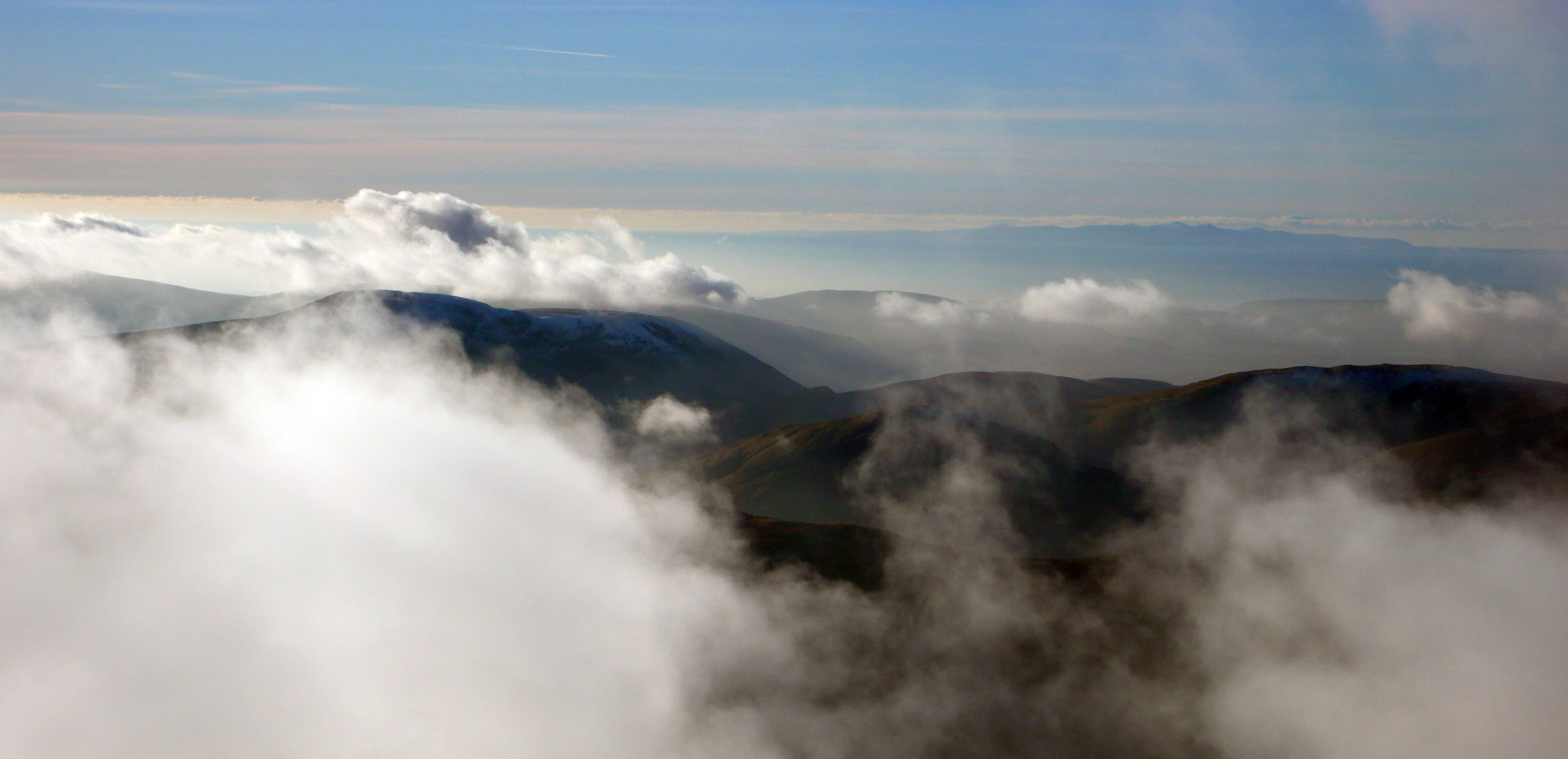
This week I start in distant lands with mountains obscured by clouds. In 1938 mountaineer Heinrich Harrer was part of the team to first ascend the North Face of the Eiger. He was interned in India during the war escaping in 1944 where he made his way into Tibet, a tale told in “Seven Years in Tibet” where he became an official in the Tibetan Government and personal tutor to the Dalai Lama. On his return from Tibet he resumed his mountaineering activities and in 1962 led an expedition to Papua New Guinea to climb the Carstenesz Pyramid he had heard of before the war. Harrer was fascinated with the tribes he met in Papua New Guinea and wrote a compelling account of his experiences in “I Come From the Stone Age”. Whilst here he met the Dani people of the Baleim Valley in the Western Highlands and was the first westerner to witness the journey to Ya-Li-Me on the Kiembe River, the Andiba rock quarries, used for axe making.

A Dani tribesman sharpening his stone axe
Excitement amongst the Dani men mounts on reaching Ya-Li-Me beside the river; a men only affair as it was taboo for women to visit this place. They then set about building wooden scaffolding up the rock face using twenty-foot poles with great gusto in a haphazard affair and laying slabs of stone on this on which they set a fire abutting the rock face. After some unsuccessful attempts at splitting the rock Harrer was asked to light the fire, as he was now called Ya-Tuan the Stone-Axe Gentleman, and with some ritual, which included a lump of rancid pork fat, he lit the fire. Fortunately this fire had the desired effect and the performance of knapping axes started amid great enthusiasm and injuries which were treated by the expedition doctor, I could go on but you should read the book!

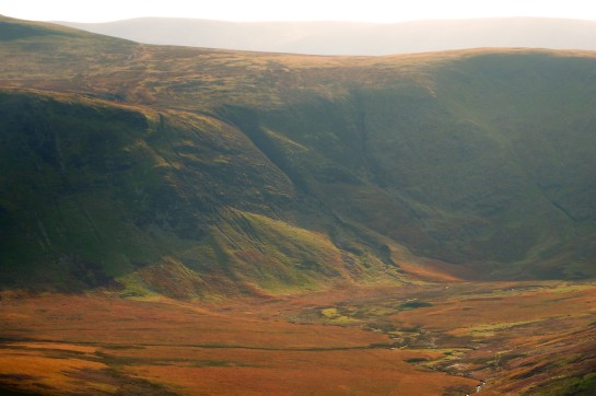
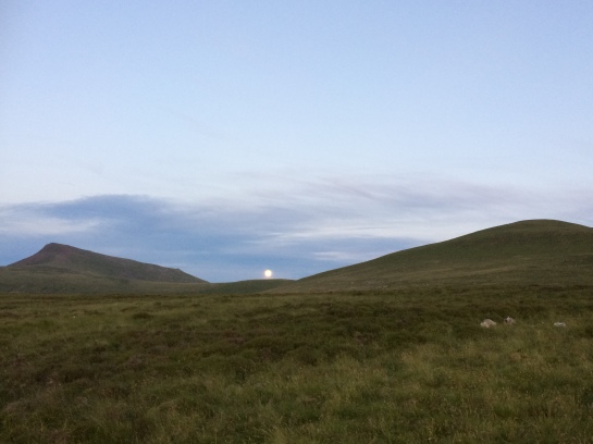
Pike O’Stickle from Glaramara Tarn
It is fascinating to think that from the Early Neolithic around 6000 years ago,even here in Cumbria people like the Dani, were wandering the high fells prospecting for a specific type of rock from which to make their own axes. One wonders how they did this, were they systematic, following the crags and their scree like their later day explorers Bunch, Fell and Plint; or was it a random affair?

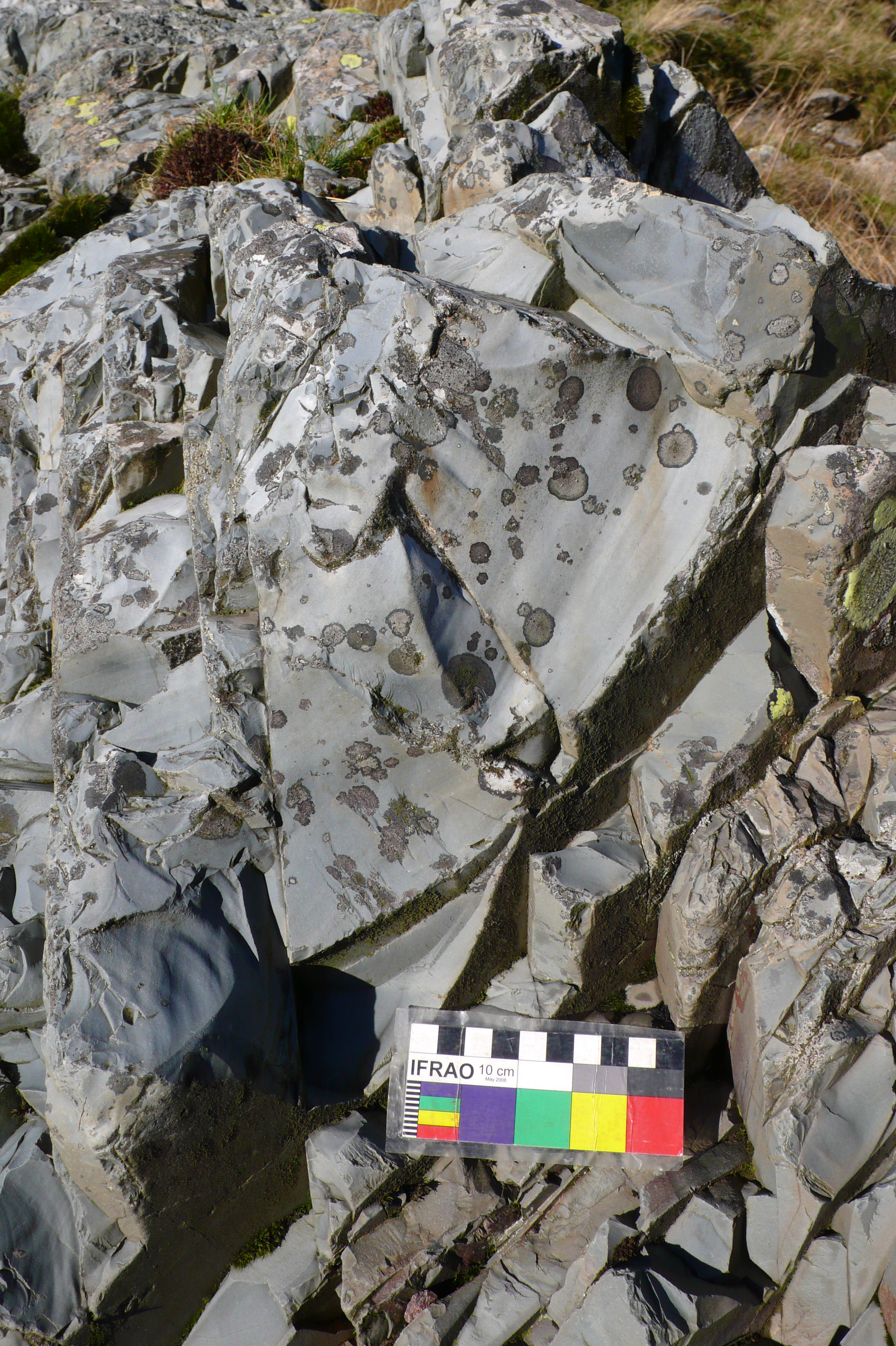
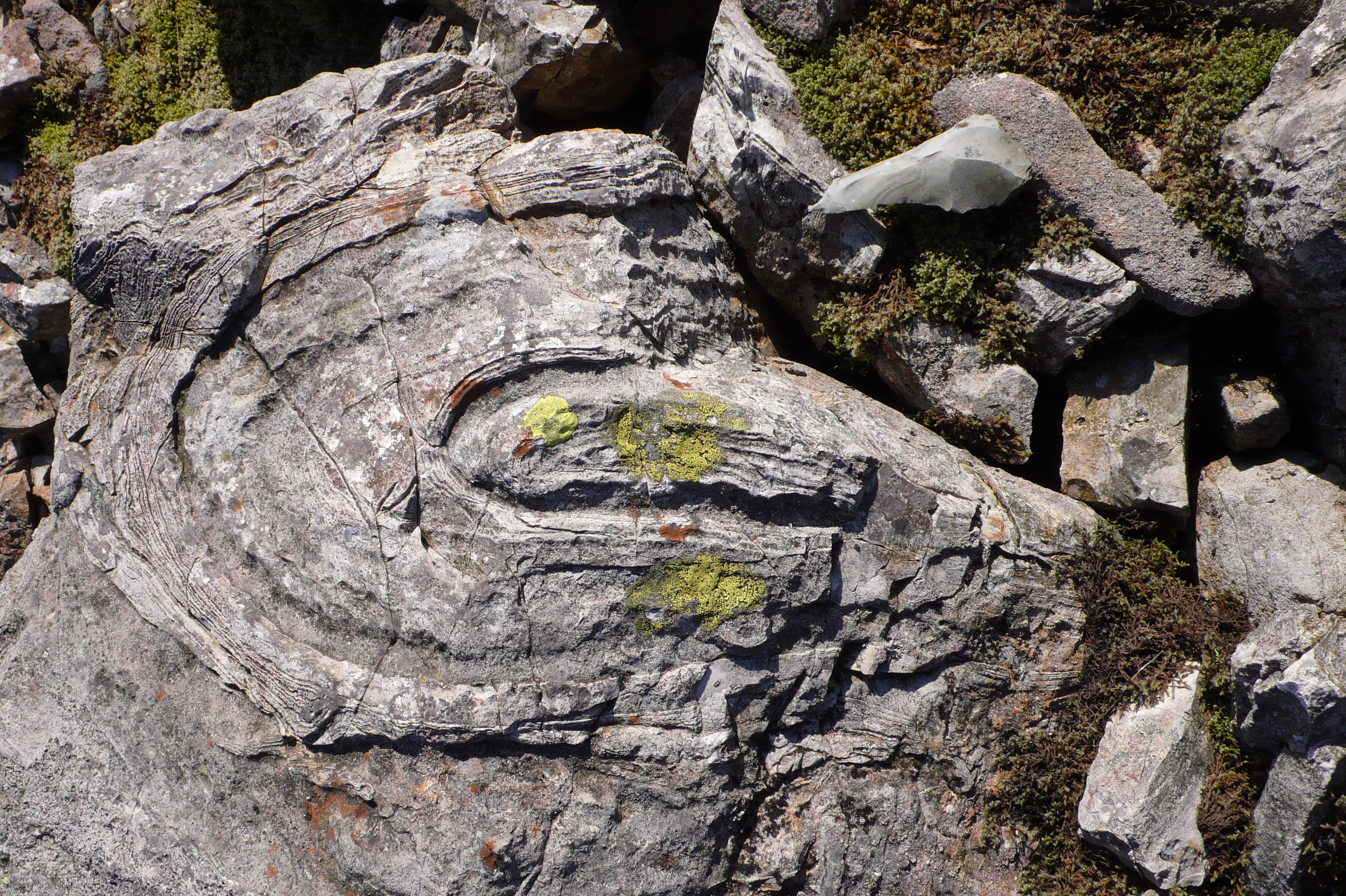
Ruddy Beck: Conchoidal fracturing on Seathwaite Tuff
Now as I trudged down from my last expedition, subject of my previous blog, I noticed some conchoidal fracturing on blue-green Seathwaite Tuff bedrock here where the glacial deposits had been stripped away. Feeling in need of sustenance I resolved to return another day to take a closer look, to see whether the hand of prehistoric man had been at work here. Conchoidal fracturing means that when struck the rock fractures leaving a scallop shell-like shape on the parent rock; the resultant flake will be the obverse shape with a bulb of percussion on the end nearest the blow. Now this fracturing can happen naturally when rocks tumble over each other but also when struck repeatedly by stone hammers; the challenge is to differentiate the two.

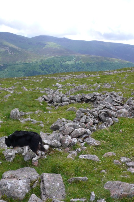
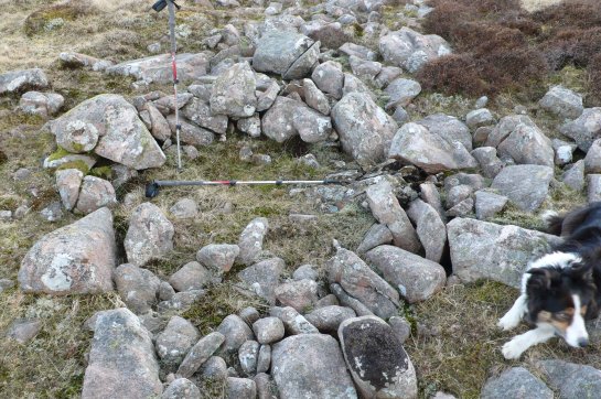
Mineral working level, Ruddy Beck/Grains Ghyll
So, like the latter-day prospectors following mountain streams searching for mineral veins, did the prehistoric people first spot the exposed tuff in the ravine sides or see pebbles of tuff in the streams that had washed down from the mountains and track them upstream to locate the “mother lode”? Indeed as the hard tuff makes for obvious near vertical crags this was almost certainly another landmark the ancient people used for spotting likely outcrops. It was in fact likely that these keen-eyed “first fells-men” used all these methods making trail knaps of rock as they went, some of the early sites identified at Great Langdale were next to Stake Beck.

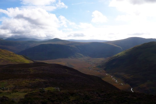
The Langdale Pikes from the north-west with the drumlin fields around Stake Beck flowing from centre to left
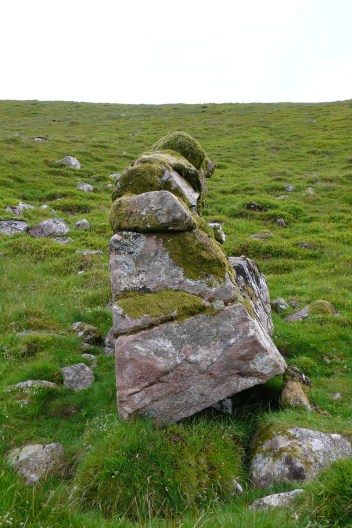
On return to Ruddy Beck it was apparent that where rocky ridges cross the beck there that had been some hammering going that had formed two unnatural notches in the ridge; the rucksack lies in one with the other larger one to its left. There was little water wear apparent and they were well above the water level after a night of heavy rain. This particular site appears to have been overlooked in the surveys undertaken since the stone axe workings were first located in the 1940’s and those in the 1980’s by Reading University and Lancaster University Archaeological Unit; whilst discovering working sites on either side of the Seathwaite Valley on the same strata.

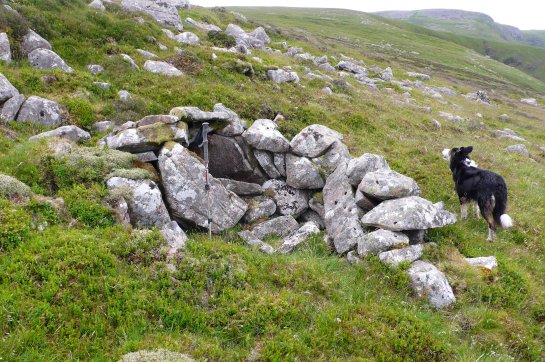
Seathwaite Tuff flaking sites adjacent to Ruddy Beck
Using the combination of archaeological evidence and ethnographic analogy Bradley and Edmonds were able to establish that fire had been used to crack the rock prior to extraction at the Neolithic quarry faces on the crags of Pike O’Stickle.This work would have been aided by timber levers and wedges made from wood and cattle bone it is also likely that water was used in this process; these facts are hard to establish from the archaeological record when the acid soils are also taken into account. Now that there would have been a more accessible supply of both timber and water at Great Langdale than the higher, drier and treeless Scafell Pike is perhaps another reason why the quarrying developed on a larger scale here; thus becoming the first Lakeland Industry, it’s a thirsty job being a quarry worker!

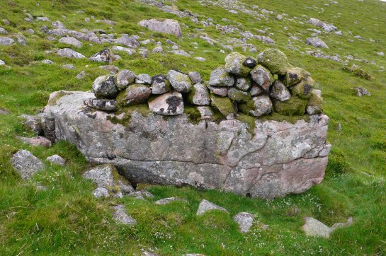
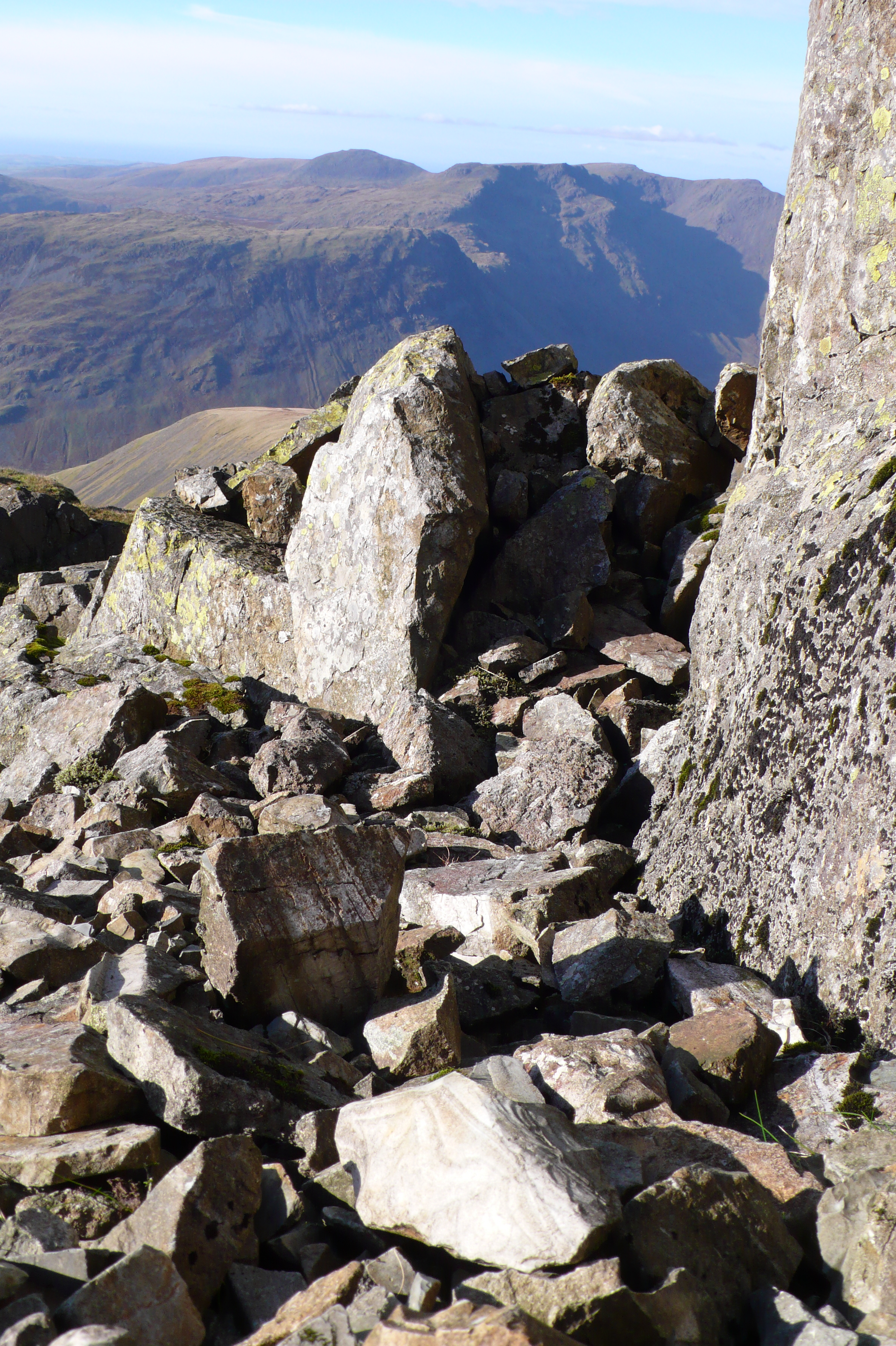
Ruddy Beck: vertical faces
Here at Ruddy Beck we can see how the rock fractures off neatly along the bedding planes that have been tilted vertically here, this would make working down the rock into manageable blanks relatively easy. Now whether many of these slabs have been removed by man or nature is hard to say; any spoil that fell into the stream would now be at the valley bottom. However it is quite possible that several may have as we can see flaking scars on the upper surfaces of an in-situ vertical slab adjacent to the right – perhaps like the Dani tribes-men they lit fires against it on stone platforms set in the beck bottom. Were they flaking the rock to divert the water whilst they quarried the rock or just altering the land, are there flaking sites under the turf or is it a trail extraction site? Many questions, further investigations are required!
Pete

Ruddy Beck: vertical shot of conchoidal fracturing on vertical Seathwaite Tuff bedding
Acknowledgements
Heinrich Harrer’s book “I Come From the Stone Age” is a grand read and fantastic photographs of the Dani by Diego Verges can be seen here: http://www.diegoverges.com/blog/?p=103
More about Great Langdale can be read in the excellent volume by Richard Bradley & Mark Edmonds, “Interpreting the Axe Trade” and Mark Edmonds’ book ” Langdale”. The most recent survey of the area was by Phillip Claris & Jamie Quartermaine, published in 1989 in the Proceedings of the Prehistoric Society.
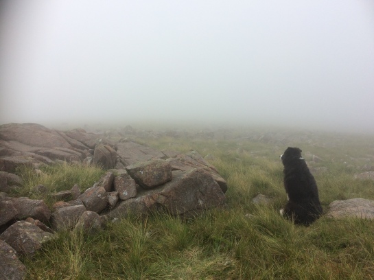
P.S. As I compose this a collie has been reunited with his keeper, Adam, after four nights lost on Scafell Pike. This has touched a lot of people…and returned from the misty spirit world …the dog god? Welcome back Jasper!

Jasper, Adam and Wasdale Mountain Rescue Team